
From Impact to Insight - Crash Diagramming Redefined
- Nov 19, 2025
- 3 min read

Create accurate, to-scale crash diagrams in seconds with AutoScene Draw, built for the way public safety really works.
Every crash tells a story. Whether it’s a simple rear-end collision at a stoplight or a multi-vehicle pileup on the interstate, documenting what happened with accuracy and speed is critical. Yet, for too long, crash diagramming has been an uphill task—requiring manual sketches, low-resolution map screenshots, or unreliable satellite imagery that fails to capture the real scene.
For investigators, time is often short, visibility is limited, and clarity is everything. That’s why AutoScene Draw (ASD) was built: to help officers create professional, precise, and easily shareable crash diagrams in seconds, not hours.
One-Click Crash Diagramming with Real Accuracy
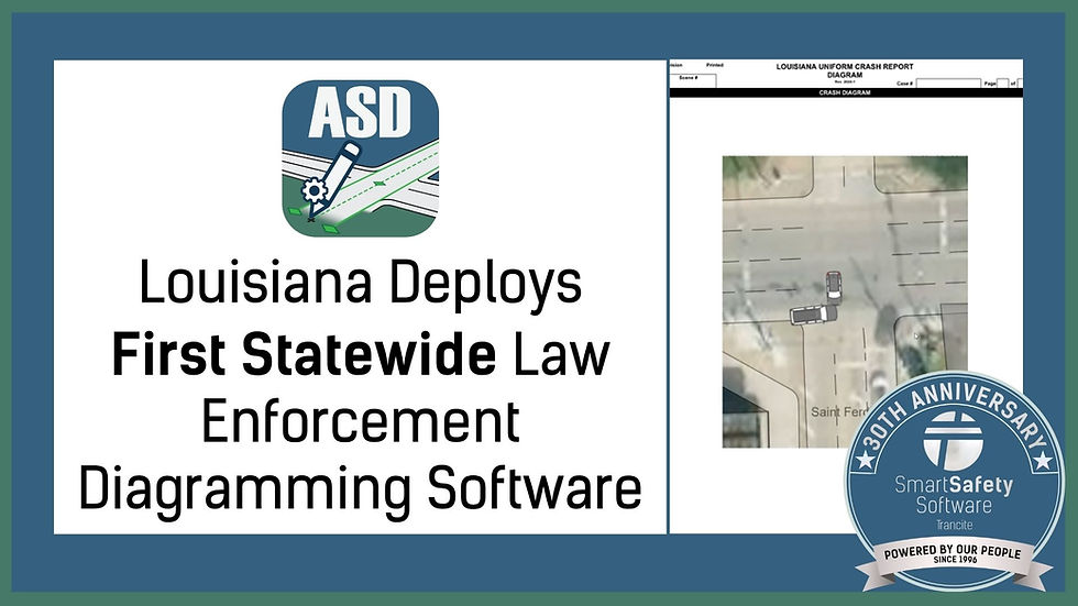
AutoScene Draw takes the guesswork out of scene documentation. With one click, officers can generate an entire crash diagram, including accurate roadways, intersections, and surrounding structures, based on real geolocation data.
Unlike static mapping or image-based tools, ASD uses verified geographic information to ensure each road, lane, and property boundary appears exactly where it should. The result: every crash diagram produced in ASD mirrors the actual scene layout, to scale and ready for evidence review.
From there, users can easily mark points of impact, debris fields, tire tracks/skid marks, and vehicle resting positions. Customizable annotation tools allow officers to add notes, directional arrows, and standardized symbols that make every diagram both clear and court ready.
This level of precision not only improves case accuracy but also helps reduce disputes during investigations and hearings, because the diagram itself becomes a trusted visual record of the truth.
Built for the Field, Designed for Real Conditions
Crashes don’t happen in perfect environments. Officers might respond to an incident miles outside of town, in areas with poor signal or no internet access at all. That’s why ASD is built to function both online and offline, allowing crash diagram creation no matter the location of the accident.
Once connected, diagrams can sync directly to your agency’s Records Management System (RMS), attach to reports, or export as secure, shareable files. Because all data stays on your servers, you maintain complete ownership and control, no third-party storage, no unpredictable AI algorithms, and no risk of unauthorized access.
For departments operating in high-volume or rural regions, this flexibility means less downtime, faster reporting, and more consistent results across every officer and unit.
Beyond the Crash: Versatility That Extends Your Capability
While AutoScene Draw was designed with crash documentation in mind, its capabilities reach far beyond. Agencies now use ASD for crime scene mapping, tactical planning, warrant service layouts, and large-event mapping.
The same precision that creates a flawless crash diagram also supports detailed diagrams for complex operations, like SWAT deployments, parade routes, or evacuation plans.
Need to include aerial images from a drone or laser scanner? ASD supports importing and geo-locating external visuals directly onto your diagram. This multi-layered approach gives agencies a richer, more complete picture of the environment, whether they’re reconstructing an accident or planning a tactical response.
Data Integrity You Can Depend On
In every investigation, the reliability of your data can make or break a case. That’s why AutoScene Draw includes built-in data validation features that keep your diagrams accurate and defensible.
Each crash diagram captures people, places, and things as linked data points, ensuring nothing is overlooked. When investigators revisit a case months later, every annotation remains tied to its original record, providing a verifiable trail of information from the moment of creation.
Because ASD’s diagrams are stored securely within your RMS or server environment, agencies maintain compliance and data integrity, critical for long-term case management.
Practical, Proven, and Ready for the Road Ahead
Technology should make your job easier, not more complicated. AutoScene Draw was created by professionals who understand the unique challenges of public safety documentation. Its intuitive design allows officers to produce professional-quality diagrams with minimal training, while its affordability makes it accessible to agencies of any size.
A crash reconstruction specialist can map a multi-vehicle accident in under a minute. A patrol officer can draw and label a simple two-car incident before leaving the scene. And an agency commander can review standardized, professional crash diagrams that support consistency across reports.
ASD’s no-nonsense approach, no AI guesswork, no internet dependency, and no loss of control makes it a trusted partner in both daily operations and high-stakes investigations.
Conclusion: Every Detail Matters
Every roadway incident deserves clarity. With AutoScene Draw, officers gain a tool that transforms moments of impact into accurate, visual records, empowering them to tell each story with confidence and precision.
Whether you’re reconstructing a crash, documenting a crime scene, or planning a tactical operation, ASD helps you see the full picture; fast, securely, and on your terms.
Because when every detail matters, every crash diagram counts.
Sign up before December 31, 2025, to receive an exclusive early-bird incentive, or contact our sales team to see it in action.


Comments