
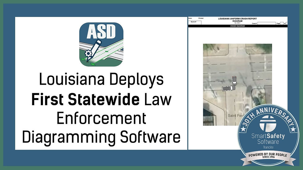
How 3D Mapping and Automated Diagramming Are Changing Public Safety
- Sep 5, 2025
- 2 min read

From Hours to Minutes with Automated Diagramming in Public Safety
When responding to a crash or crime scene, time is critical. Every extra minute on-site increases risk for officers, extends road closures, and delays case resolution. Traditionally, documenting a scene meant taking dozens of measurements, sketches, and photos, a process that could take hours.
Now, agencies have a better option. By pairing Dot3D Pro’s mobile 3D mapping with Auto Scene Draw’s intuitive 2D diagramming, what once took hours can now be done in minutes, all with greater accuracy than ever before. This powerful combination is shaping the future of scene documentation.
Turning Reality into Data: How the Integration Works
Here's how the workflow comes together:
Capture the scene in 3D with Dot3D Pro on a mobile device.
Export the data as a scaled, geo-referenced orthophoto (GeoTIFF).
Import the orthophoto into Auto Scene Draw (ASD), where it aligns with satellite imagery.
Within ASD, you can quickly generate roadways, intersections, and building outlines, then add drag-and-drop vehicles, tire marks, and elements from the diagramming library to complete the scene.
By combining Dot3D’s 3D capture with ASD’s 2D diagramming, agencies gain a smooth, digital workflow that accelerates documentation while maintaining accuracy.
Accuracy That Leaves No Doubt: The Power of Geo-Referenced Data
Accuracy isn’t optional in public safety; it’s essential. Scaled diagrams backed by geo-referenced orthophotos leave no room for guesswork. Every roadway, structure, and vehicle placement is mapped exactly as it existed.
This precision matters in the courtroom, where discrepancies can impact a case. By using Dot3D and Auto Scene Draw together, agencies produce diagrams that meet the highest evidentiary standards.
Beyond Crashes: Versatility in Action
While perfect for crash reconstruction, this integration is just as effective for:
● Crime scene mapping
● Tactical planning
● Disaster response documentation, etc.
With tools this flexible, agencies can handle a wide range of scenarios without adding complexity to their workflow.
Why This Matters for Agencies Today
Modern law enforcement agencies demand efficiency and accuracy, and the combination of 3D mapping and automated diagramming delivers both. This solution is:
● Affordable - Scales to fit agencies of all sizes.
● Fast - Cuts documentation time dramatically.
● Accurate - Provides confidence that every measurement is correct.
The future of public safety documentation is here, and it is easier than ever.
Watch the full tutorial video created by our friends at Dot3D here.
Want to see how this technology can benefit your agency? Sign up for updates on ASD or contact our team today.


Comments