
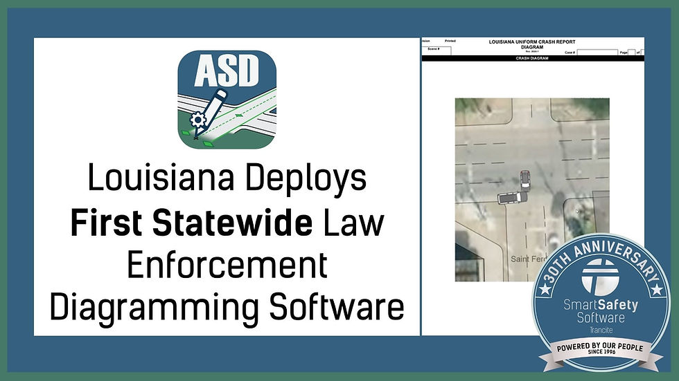
Beyond the Scene: Using AutoScene Draw for Event Planning and Parades
- Nov 5, 2025
- 5 min read

Each November, communities across the country prepare for parades, charity runs, and holiday festivals that bring together thousands of participants and spectators. While these gatherings mark a welcome tradition of togetherness, they also present complex logistical and safety challenges for public safety agencies. The same careful coordination that governs major incident response applies equally to large public events. Routes must be marked, barricades positioned, staging areas assigned, and emergency access clearly maintained.
For many agencies, planning such events has long involved manual sketches, static maps, or cumbersome geographic information system (GIS) images that lack flexibility. Yet modern law enforcement and municipal operations increasingly demand faster, more adaptable solutions that can produce accurate diagrams without weeks of preparation. This is where AutoScene Draw (ASD) demonstrates its broader value.
Originally designed to modernize crash and crime scene documentation, ASD has quickly proven useful for event coordination and public safety planning. Its ability to generate accurate, to-scale diagrams in seconds allows agencies to visualize entire routes and perimeters, adjusting in real time as plans evolve. With holiday events approaching, ASD offers an ideal means to simplify preparation and ensure clarity across departments and partner organizations.
AutoScene Draw for Event Planning Routes with Precision
Every parade and community run begins with a route. For a Thanksgiving parade, that route may stretch for several miles through a downtown area, crossing intersections, entering restricted zones, and passing near schools or churches. For a 5K or “Turkey Trot,” it may weave through residential neighborhoods or along mixed-use pathways.
ASD allows event planners and public safety officials to chart these routes with precision. By using geolocation data, the software automatically draws roadways, intersections, sidewalks, and structures directly onto a blank workspace. Officers or coordinators can then annotate the diagram with checkpoints, spectator zones, detours, or rest stations.
This function replaces the need for printed maps covered in marker lines or multiple digital screenshots layered together. Instead, ASD produces a clean, unified depiction of the event layout that can be scaled, edited, and shared across teams. Because diagrams are to scale, command staff and field supervisors can make confident decisions about barricade placement, vehicle staging, or crowd management without guesswork.
Coordinating Multi-Agency Operations
Thanksgiving events often involve collaboration between several groups: local police, public works, fire departments, medical services, and sometimes regional transportation agencies. When each team operates from a different map or format, confusion can easily occur. ASD eliminates that fragmentation by producing standardized, easily shareable diagrams that work for all stakeholders.
An agency can export a single diagram to a shared server, attach it to its Records Management System (RMS), or distribute the downloaded image via secure email. This ensures that every participating organization is operating from the same layout and terminology. The clarity of ASD’s standardized symbol libraries also aids communication during briefings, particularly when describing intersections, restricted access points, or staging areas.
In practical terms, this means a fire captain, police lieutenant, and event organizer can all reference the same map during planning sessions, ensuring alignment on responsibilities and minimizing duplication of effort. The simplicity of ASD’s interface also allows non-technical users to view or adjust diagrams without specialized training.
Responding to Changes in Real Time
Even the best event plan must adapt. A parade route may shift to accommodate construction, a street closure, or unforeseen crowding. ASD allows planners to make these adjustments in seconds. Because the system’s diagram elements are dynamic and scalable, altering a route or repositioning barriers requires only a few clicks.
This agility proves particularly valuable in the days leading up to an event, when details are still being finalized. Agencies can prepare multiple route variations and share updated versions instantly, rather than redrawing diagrams from scratch.
For agencies accustomed to static PDF maps or third-party mapping services, this flexibility represents a meaningful improvement. It saves time, reduces confusion, and provides leadership with an accurate, evolving picture of their operational landscape.
Enhancing Public Communication
Clear communication with the public is critical for parade and race safety. Residents need to know which streets will close, where to park, and which areas are designated for spectators.
Diagrams created in ASD can be exported as clean, high-resolution PDFs suitable for inclusion in community bulletins or social media posts. These visual maps help reduce public uncertainty and prevent congestion on event day. When law enforcement agencies release accurate diagrams to accompany traffic notices or press releases, they not only improve compliance but also foster trust through transparency and professionalism.
Some departments also use ASD-generated maps internally for roll-call briefings or as printed handouts to distribute to volunteers and auxiliary staff. The software’s ability to label roads, draw directional arrows, and highlight restricted areas provides clarity that traditional text-based memos cannot achieve.
Maintaining Operational Readiness
While parades and holiday events occur on predictable dates, the planning process mirrors that of emergency preparedness. The same methods used to design a parade route can apply to tactical response planning, dignitary visits, or evacuation routes. By using ASD for community events, agencies simultaneously build proficiency with a tool that will serve them in more critical circumstances.
Because ASD integrates easily with many RMS platforms and functions in both connected and disconnected environments, officers can also rely on it in the field should conditions change. For instance, if an unexpected incident occurs during a parade, on-scene commanders can use ASD to mark perimeters, reroute traffic, or document the event area for later review.
This dual-purpose capability (supporting both planned operations and emergent response) illustrates ASD’s value as a long-term investment rather than a single-purpose application.
Time, Efficiency, and Ownership
The advantage of ASD lies not only in its technical capabilities but also in its practicality. A complete diagram of a multi-block parade route can be generated in less than a minute. Adjustments take seconds. And because the resulting file is compact and data-secure, agencies retain full control without relying on third-party servers or artificial intelligence systems.
For public safety professionals, these qualities translate into greater autonomy and efficiency. Officers spend less time on administrative preparation and more time ensuring safety in the field. Supervisors can review consistent, professional diagrams without concern for compatibility or lost data.
Furthermore, ASD’s affordability compared to complex GIS solutions makes it accessible to agencies of all sizes, including those managing smaller community parades or charity events with limited budgets.
Looking Ahead
The holiday season serves as a reminder that law enforcement’s mission extends beyond emergency response. Agencies play an integral role in supporting the civic life of their communities. Whether facilitating a Thanksgiving parade, securing a 5K race route, or planning crowd movement for a festival, officers rely on clear, accurate visual information to keep people safe.
AutoScene Draw represents a practical evolution of that work. It gives agencies the ability to plan, visualize, and communicate with precision, all within a single, dependable platform. For those accustomed to using it for crash or crime scene documentation, exploring its role in event planning opens a new dimension of utility.
Every scene (whether an accident, an investigation, or a community celebration) demands clarity. With ASD, that clarity is now easier to achieve, faster to produce, and fully under the agency’s control.
Contact us to schedule a demo of ASD for you and your agency.


Comments